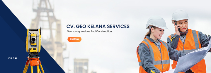
Our Services
www.geolandsurveybali.com
Our Services
The following are some of the services provided by CV. Geo Kelana Services
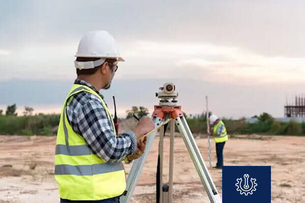
Topographic Mapping
High-precision land surface mapping services for construction, spatial planning, and development project needs.
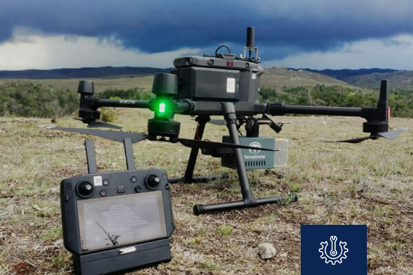
LiDAR Measurement
High-precision LiDAR scanning for detailed contour and vegetation analysis across various land types.
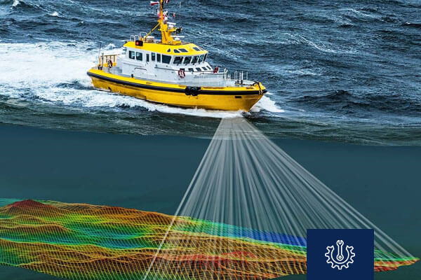
Bathymetry
Accurate water depth measurement using sonar to map seabeds, rivers, lakes and etc.
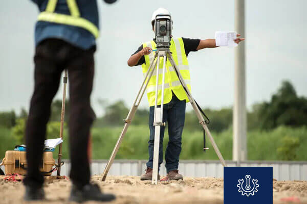
Land Surveying
Detailed land area measurement for agriculture, property, and development planning.

Aerial Photography
High-resolution aerial mapping for surface condition analysis and object identification from above.

Benchmark (BM)
Accurate reference point establishment for elevation surveys in construction and topographic mapping.

Satellite Imagery
High-detail satellite imagery analysis for environmental monitoring, land change detection, and regional mapping.

Excavation and Stockpile Volume
High-accuracy calculation of excavation and stockpile material volumes for construction and mining.


